


Undermaps Ingest turns your as-builts such as BYDA dials into a single, georeferenced and digitised map, automatically.
The Ingest pilot is live in Australia, learn more and register for the waitlist today.
Reveal's professionalism, attention to detail, adherence to processes, consideration of policies and their own support and focus of Health & Safety is beyond reproach.

Darren Matthews
Business Partner, Engineering Services, AIAL
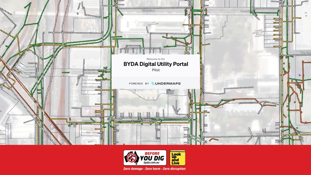
The BYDA DIGITAL UTILITY PORTAL.
BDUP provides a secure, GIS-enabled environment for accessing and coordinating underground utility data across Australia.
Built on Undermaps, it transforms fragmented plans into structured, usable data, enabling faster design, safer delivery, and national-scale coordination.

Engineering Time Savings
9.6 hours saved per request

National Productivity Impact
5.2 million hours unlocked annually

Economic Value Delivered
$330 million in productivity savings
Our Partners
Undermaps can process all your utility data.
Enquire about our data services

Existing records digitisation
Ingest can gather, georeference and digitise all existing utility plans into any major format.

Utility Network Models
Utilising high-fidelity satellite imagery, Undermaps extract surface features and update your plans to match above-ground indications of underground assets, to create an intuitive 2D network model.

GPR Data Processing
From 3D models of your utilities to intuitive heatmaps of your pavement thickness, Undermaps provides tools for all your GPR data.
Contact
